
Monitoring crops with drones
Monitoring crops with drones
By Drone AG
The use of drones has become second nature to Graham Potter who farms at Topcliffe Grange near Thirsk. Mr Potter has been using drones for four years to provide detailed crop images. He was one of the first to adopt Skippy Scout, a mobile phone base app that automatically flies a drone to take pictures of a crop.
He says: Its a great bit of kit that makes life much easier and quicker. If I think there is problem crop I can take the drone out and use Skippy to fly to points in the field. The images are sent back in real time so I can see what may be effecting the crop and decide on my next move.
When Mr Potter is spraying crops, he records any problem areas using map pins to fly his drone to at a later time.
With Skippy I can import any map, digital or paper based, using the field map import functionality. Using My John Deere, I can use the map tool to flag points in a field when I am out in the tractor and then import that map to Skippy. Once uploaded, Skippy can use the points to fly my drone and the images taken are leaf level and high resolution so can have a closer look when I have the time, he says.
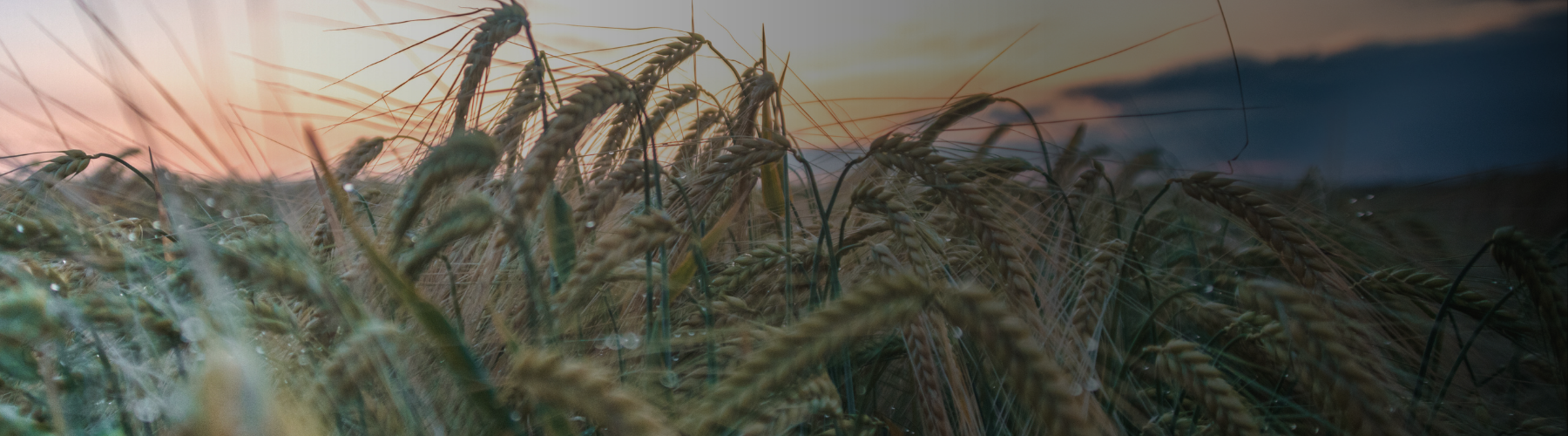
Mr Potter farms 200 hectares, which includes 49 hectares of first wheat, 22ha of second wheat and 14ha of third wheat. He also has 39 hectares of malting quality spring barley, 45 acres of OSR and 23 hectares of spring beans. He uses the field map import functionality of Skippy Scout as an ongoing way to reference how pests or weeds are affecting crops.
He can fly his drone to the same points regularly to keep a close eye without spending large portions of time reviewing the crop on foot. We often have a problem with brome. I can use Skippy to send the drone back to the same points regularly and compile the photos to send to my agronomist, he says. This is also useful to reduce the amount spraying Mr Potter needs to do. The drone images show me where problems are so I can target my spraying efforts. This saves time and reduces the cost of spraying, he adds.
To protect his soil structure, reduce costs and machinery wear Mr Potter has had the whole farm conductivity tested so he can direct drill. Its more efficient and offers a more sustainable way for me to farm, he says. He also uses variable rate fertiliser spreading.
I have reduced my inputs considerably and by accurately mapping the farm I can program the spreader to focus on the areas that need more fertiliser and save on those that dont. I can also record these points and import the maps to Skippy, which enables me to cross reference how effective my efforts have been, he adds.
Slugs are also a problem, especially in wet conditions, such as those experienced early in 2020. Monitoring the take of slug pellets on foot is time consuming. However, Mr Potter is able to see the take using his drone.
I put slug pellets down and send the drone to a problem area to establish the pellet take. This means I dont have to trudge around in the mud, and I can keep a much closer eye on how effective the treatment is, he says.
For Mr Potter, drone use is a time saving exercise that offers a more frequent opportunity to monitor crops more closely and accurately. By using VARI (Visible Atmospherically Resistant Index), he can highlight where there is more plant growth. VARI looks at âgreenness and so in the right conditions can also highlight an unhealthy crop where leaf colouration has changed.
I started using Drone Deploy to scan fields. The drone would take pictures all over the field and piece them together like a jigsaw to give me one image that I could use to establish nutrient deficiencies by looking at the colour of the leaves, he says. The data Mr Potter collects can then be added to Gatekeeper so his sprayer can use it to spray more efficiently.
By choosing to use Skippy Scout in conjunction with Drone Deploy, Mr Potter is now able to review his crops even faster. The app makes everything really easy. All I have to do is import a map, establish the field boundaries, click on where I want the drone to fly to and it will automatically fly to those points to take images. It then saves those points so that I can compare throughout a growing season or save images to be compared year on year, he says.
This also allows Mr Potter to use a smaller drone than is required to take the high-level images needed for Drone Deploy. I have two drones and it is much easier to use the smaller one and Skippy to quickly fly to a specific crop and see what is happening. Drone Ag has recently made me aware that in the next version of Skippy they will offer the same functionality as Drone Deploy so I may be able to use just one drone in the future, he says.
Mr Potter farms in a military no fly zone and so has to request clearance before flying the larger of his two drones.
I use the larger drone with Drone Deploy for long periods and often can only fly at weekends which can be tricky. With Skippy I can fly much lower to just get images of a few areas that I need. This means that I have been able to look at crops far more with Skippy and I can use a smaller, cheaper drone too which makes the whole process that bit easier, he says.
Check out other related blogs...