
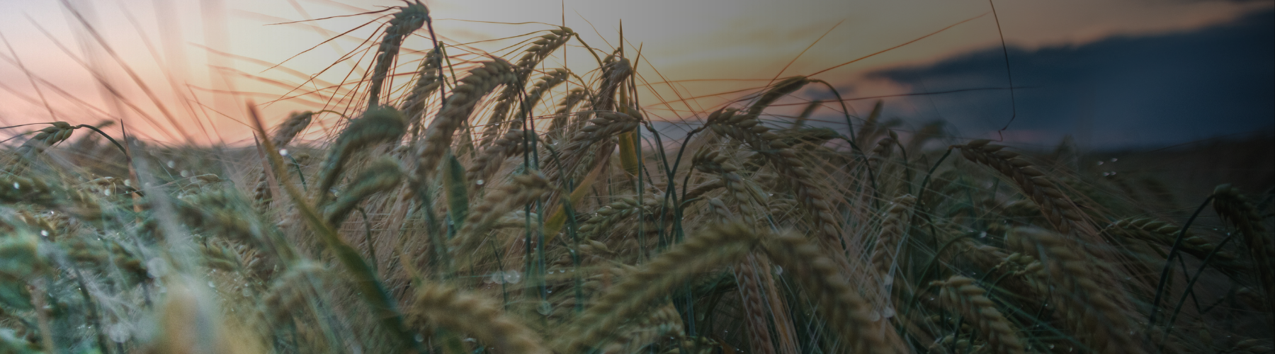
Gaining a clear view
As featured in Arable Farming Magazine
Gaining a clear view
by Arable Farming Magazine May issue
Cloud-free imagery advancements are set to enhance precision farming services.
Advances in the level of accuracy for field scouting, variable rate application practices and other precision farming activities are among the claims made for Agriis latest precision farming offering, which is marketed as ClearSky.
The company is describing ClearSky as the UKs âfirst truly cloud-free imagery service.
It will be exclusively available to Agrii and Rhiza customers through the Contour platform and is said to remove the reliance on regular Sentinel 2 satellite images, which until now have been relied upon by all farmers in the UK, regardless of their precision farming service provider.
The ClearSky product is the result of a collaborative project between Rhiza, Origin Digital and Aspia Space and produces full-spectrum optical and infrared imagery, including NDVI and GCVI from synthetic-aperture radar (SAR) data.
It removes the previous reliance on optical images needing a clear line of sight.
This innovation means that farmers using ClearSky are guaranteed to receive an image showing them how their crop is developing every six days, whatever the weather, says Agrii.
This contrasts with traditional, weather-dependent imagery which can often have gaps of several weeks between cloud-free views.
David Langton, head of research and development at Origin Digital, says: As SAR data passes through clouds, this means that for the first time, we will be able to guarantee our customers a regular, reliable image every six days, all-year-round.
Unlike other âcloud-free derivatives, ClearSky does not rely on intermittent clear optical imagery to calibrate predicted changes.
This enables a greater degree of confidence in the data we are supplying to customers.
Final product Service evaluation has involved Agrii agronomists, Origin R&D and Rhiza account managers, helping the provider to refine and develop their models and shape the final product.
Across the 6,000-plus images assessed in the process, the correlation with Sentinel optical imagery has been excellent, says Mr Langton and has demonstrated that ClearSky can be used for field scouting and variable rate planning.
The first imagery product of its kind to use artificial imagery, ClearSky will enable growers to match the application of inputs such as fertiliser with crop growth.
Sam Fordham, head of technical at Rhiza, says: ClearSky will enable our growers to scout and plan their fertiliser applications more effectively, efficiently and sustainably than has been possible before.
Given how quickly crops develop during the peak of spring, one of the cloudiest seasons of the year, being reliant on regular Sentinel 2 images meant there was a high risk that fertiliser applications would be less than optimal.
ClearSky greatly reduces that risk meaning users can target nitrogen applications to when they will be most economically worthwhile.
Analysis by Agrii reveals that the Sentinel 2 system produced, on average, roughly 13.3 clear images per farm in 2021.
Using the ClearSky platform increased this to 60.8.
This is improved further if the cloud-free images captured by Sentinel 2 are included.
Cloudy country Jon Greenman, commercial manager at Rhiza, says: The UK is predominantly a cloudy country.
During March 2021, 68% of the farms serviced by Rhiza hadnt received a clear image for more than 10 days.
This serves to hinder the development of precision farming tools.
ClearSky removes that barrier and will enable the advancement of a raft of new services.
This is a hugely exciting development because it provides dependable images on a regular basis.
This will enable UK farmers to further optimise the application of fertiliser and other inputs to improve yields and endorse their sustainability credentials, he adds.
ClearSky is available to all Agrii customers on the Contour platform from the end of March 2022.
Radar imagery investment boost for variable rate N
Precision farming business Soyl, a division of Frontier Agriculture, introduced new image technology unaffected by cloud cover last autumn.
The technology will provide growers with more consistent and accurate measurements of crop growth and development, says the company.
Delivered in partnership with agricultural satellite analysts, Geosys following a programme of trials and research, the adoption of radar is a significant development in Soyls variable rate nitrogen service, says sustainability knowledge exchange manager Edward Jones.
The technology enhances our existing biomass imagery model so that growers using the service can receive regular, high-quality cloud-free images throughout the key winter cereal nitrogen application window, he says.
Historically, biomass imagery hasnt been captured when cloud cover obscures the satellites view of the field.
This means it has been much harder for growers to access up-to-date information to inform application decisions.
Being able to access comprehensive radar image regularly means it will be much easier to monitor crop development, benchmark performance and be much more reactive when the data indicates a change of approach is needed.
With optical satellite imagery, cloud cover can sometimes obscure the image that is captured and in periods of poor weather, this can mean it is much harder for growers to access information about crop growth and performance to help with application decisions, he adds.
It is important we invest in solutions that allow growers to adopt crop production strategies based on information from their own farms.
Being able to access comprehensive radar imagery on a regular basis means it will be much easier to monitor crop development, benchmark performance and be more reactive when the data indicates a change of approach is needed.
Consistent delivery We already utilise imagery from nine satellites, which helps us to manage issues with cloud coverage and ensures a more consistent delivery of images to our MySoyl application.
MySoyl is Soyls precision farm data platform, available within Frontier Agricultures MyFarm.
Six of the satellites we use are tasked which means imagery is provided to us at a premium.
Its an important investment for us because unlike free public source satellites, we can retrieve quality data at specified time intervals across the growing season.
This means were able to provide growers with regular imagery when its most important and with that data they can make or change nitrogen application plans whenever they need to.
Soyls variable rate nitrogen service is designed to help growers improve nitrogen use efficiency by targeting inputs to match their crops requirements at a whole-farm scale but also by identifying variations within individual fields.
Taking a varied application approach means the input matches the demand and this can reduce the amount of residual nitrogen in the soil after harvest, says Mr Jones.
There are environmental benefits associated with this as it means there will be less residual nitrogen that is at risk of leaching into watercourses.
Optimising applications can also contribute to a smaller carbon footprint too, with less work required at harvest thanks to improved crop consistency and quality.
Complement Mr Jones adds that a Chlorophyll Vegetation Index can be used from May to complement Leaf Area Index and radar technology early in the season.
CVI works in a similar vein to radar imagery, but it uses different wavelengths of light.
This means it can be used to support final nitrogen applications, or in milling wheat, the final two in a four-split system.